NUTS-2 regions are statistical subnational regions (often provinces), mainly for the EU and UK [1].
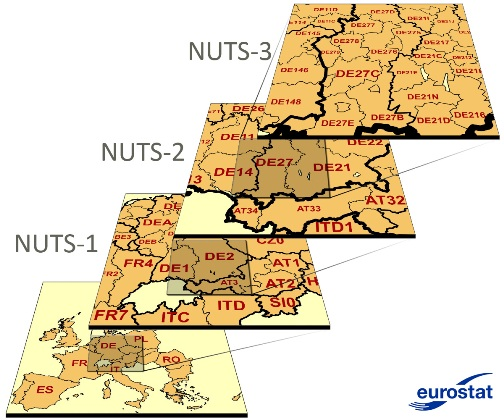 |
| NUTS hierarchy (from [1]) |
In [2] we can find mapping information in the form of Shapefiles[3] and related formats. I used the GeoJSON[4] format, and created a Python notebook script to extract a GAMS set from that file. The file is reproduced in the appendix below. The NUTS-2 codes form the set elements, and the name is stored as explanatory text. There is an option to generate Latin names instead of using the native alphabet. The Latin names are also inside the geojson file. E.g. we have:
EL65 'Πελοπόννησος'
which is in the Greek alphabet. Using the Latin name, this would look like:
EL65 'Peloponnisos'

